
Environment
Analysis Tools

We identify areas of environmental vulnerability and human activities that may negatively impact the environment using advanced statistical analysis. Interactive heat maps are generated to visualize patterns of pollution and environmental degradation, integrating key conservation aspects to evaluate and mitigate impacts.
Integration

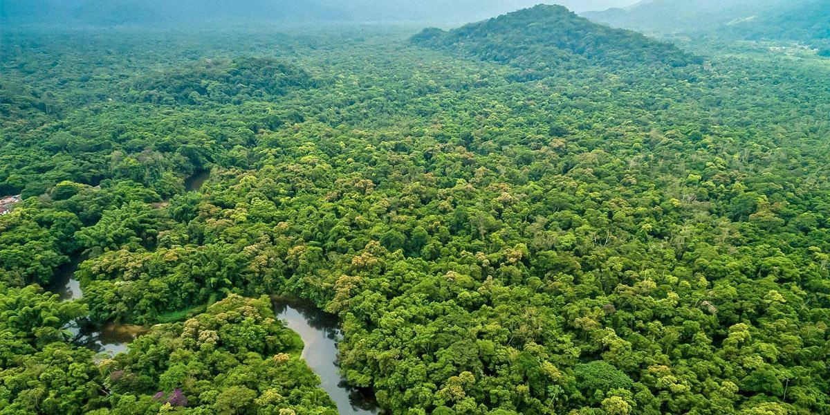
We incorporate technologies such as drones to monitor ecosystems and protected areas from an aerial perspective. Additionally, we develop web platforms with dashboards that enable real-time visualization of environmental data, such as air quality, pollution levels, and illegal logging detection.
Data Processing

We analyze satellite images and remote sensor data to identify changes in land use, deforestation, biodiversity loss, and other environmental impacts. Multispectral analyses are conducted to provide a detailed view of the environment, generating critical information for conservation-oriented decision-making.
Monitoring

We offer real-time monitoring solutions for activities related to environmental management. These include applications that allow for human activity supervision, risk prevention, and specific task assignments to mitigate damage. This comprehensive solution ensures more effective management and proactive responses to potential challenges.
